Atlan Geo
ATLAN GEO are high-endurance autonomous drones, capable of flying beyond the horizon to deliver perfectly exploitable results in a fraction of the time at a lower cost.


Overview
Ai Module
Cameras
GPS
Overview
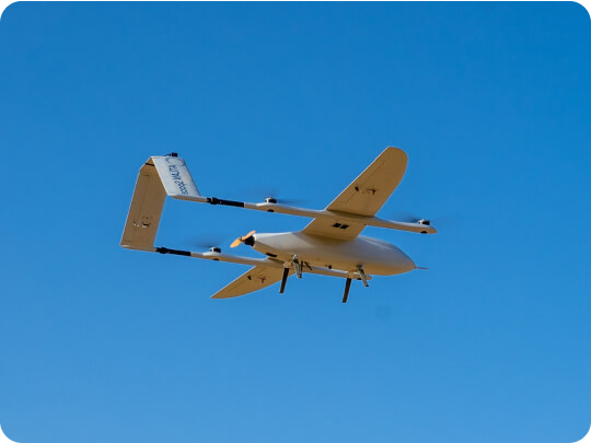
Take full advantage of your drone’s long endurance
ATLAN GEO covers larger areas in a few flights per mission; Undertake bigger projects in less time and get higher quality aerial shots.
0 +
Ha/flight
Linear distance:
Continues flight:
0
Km/flight
2.5 hours


Take full advantage of your drone’s long endurance
ATLAN GEO covers larger areas in a few flights per mission; Undertake bigger projects in less time and get higher quality aerial shots.
Ha/flight
0 +
Km/flight
0
Continues flight:
2.5 hours



Product Details
Platform
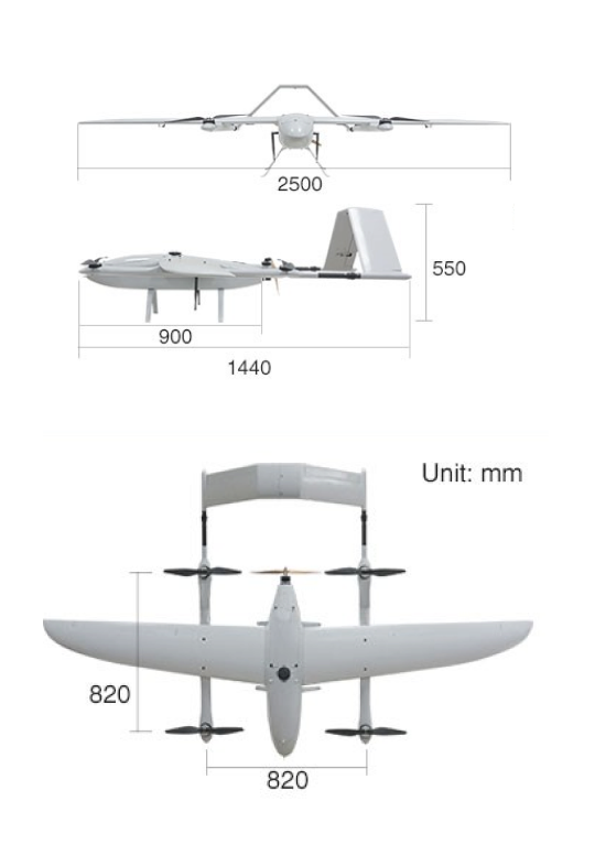
- Cruising speed: 82 km/h
- Maximum flight time: 150mins
- Maximum Flight Distance : 180km
- Interchangeable payload: Yes
- Payload capacity: 7.4kg with batteries
Performance
- Coverage at 3CM/PX: Up to 1500HA per flight
- Resolution : up to 0.38CM/PX GSD
- Accuracy : Up to 3cm horizontal
Weather
- Cruising speed: 50 km/h
- Maximum flight time: 3000 m
- Payload capacity: 5 to 45 C
- Interchangeable payload: Normal
Ai Module
Overcome the limitations
of predetermined flight planning
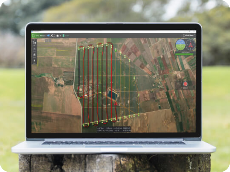
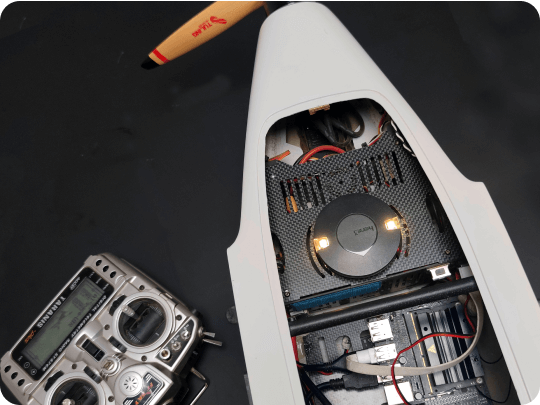
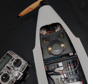
The embedded AI technology plans for the optimal route, autonomously monitors variables like weather, battery consumption, and mission time during the flight and adjusts flight plan accordingly.

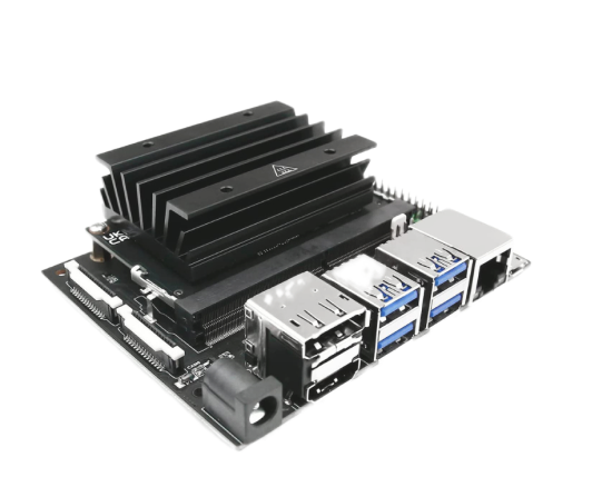

Ai Module
Platform
- GPU:
core Maxwell - CPU:
core ARM A57 @ 1.43 GHz - Memory:
4 GB 64-bit LPDDR4 25.6 GB/s - Storage:
64 Gb - Power Adapter:
5V 4A - Mechanical:
130x115x55mm
Cameras
Get data with Higher definition
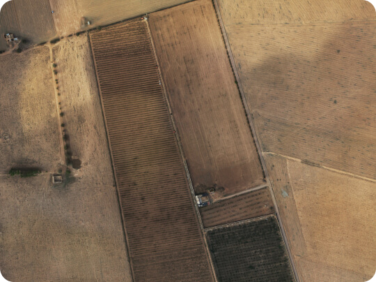
In addition to delivering highly accurate photogrammetry data in fewer take-offs, the embedded AI processes data in real-time and alternates route plans to eliminate post-processing delays caused by Black areas, GSD variations and problematic elevations.
–
At:
1500 Ha/hour
1.3 cm/px GSD
Unprecedented RGB data acquisition rate of 150Mpx

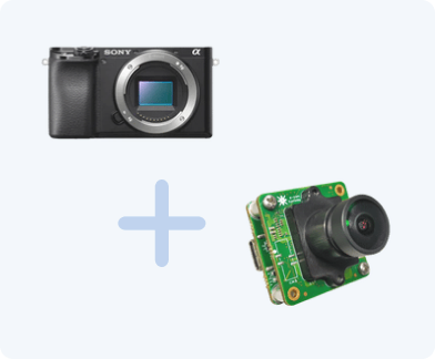
Sony Aplha 6300 Series + e-con Systems – See3Cam
Sony A7R IV + e-con Systems – See3Cam
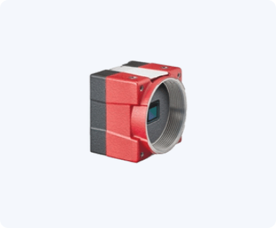
Allied Vision – Alvium 1800 U
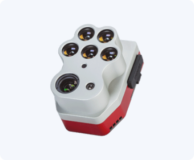
MicaSense – Altum PT
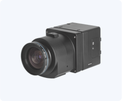
PhaseOne – iXM RS150F
PhaseOne – iXM RS150F
GPS
Adapt the accuracy to your needs and maintain it over large areas
ATLAN GEO features 2 multi-band GPS receivers with different antennas for real time accuracy in most use cases. It can be combined with static GPS data for increased centimetre level accuracy.
You can make the most of both real-time awareness and beyond visual line of sight flight mode which in return eliminates the need to change location every time, and reduces landing, data checks, and mission do-overs.
Multi-base RTK+PPK

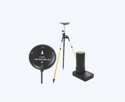

Holybro – H RTK F9P GNSS
Series base and rover
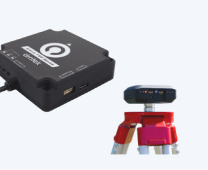

Drotek – SIRIUS RTK
GNSS base and rover
Use Atlan GEO for


Land-surveying & GIS
- Simplify and speed up perimeter Mapping
- Insure both cost-efficiency and safety
- Visualize landscapes for urban planning
- Manage and measure stockpiles’ volumes
- Optimize project planning, design and development
- Ensure asset management and site inspections


Mining & Exploration
- Explore potential mining sites
- Automate inventory management
- Manage and measure stockpiles’ volumes
- Monitor drills, blasts and water flow
- Enhance security and situational awareness
- Plan and execute mine reclamation



Construction & Infrastructure
- Produce accurate pre-construction surveys
- Support marketing with aerial shots and 3D models
- Monitor construction progress, quality and accuracy
- Get accurate volumetric calculation of stockpiles
- Avoid accumulating errors and optimize inventory reports
- Insure infrastructure and compliance inspection
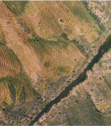


Agriculture
- Automate plant count for precision farming
- Estimate biomass changes and yield rates
- Assess and diagnose crops’ health and growth
- Monitor Irrigation and drainage systems
- Detect infected and damaged crop areas
- Verify claims in agricultural insurance surveys
Get to Know ATLAN GEO
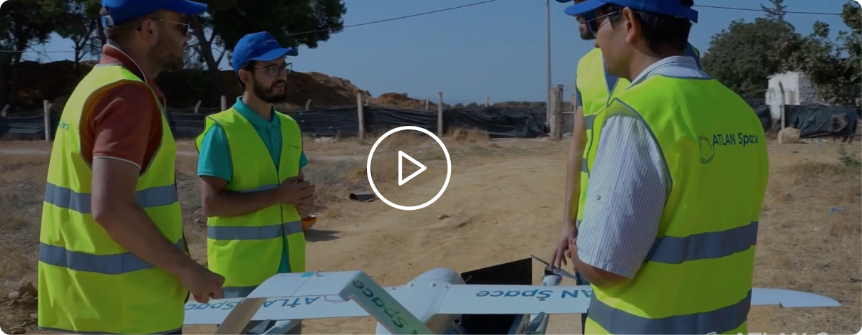
Whether it is basic mapping of a region or surveys of hard-to-reach places,you can now undertake large projects that were previously difficult to achieve safely using ATLAN GEO.
Automatic Sense and Avoid for Remotely Piloted Aircraft Systems (RPAS)


Please fill form to download whitepapers
Your operators will know how to deploy
ATLAN GEO in just a few days of online training
Get in touch with us
Contact ATLAN Space to :
Whats’s going on with ATLAN Space?
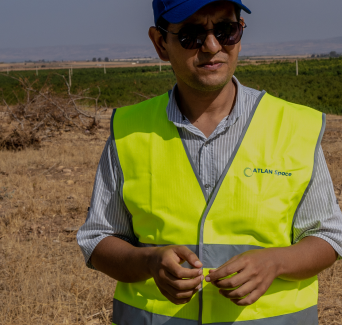

ATLAN Insight
ATLAN Insight estimates the required energy for the drone to get the job done using the calibration procedure at the start of every mission. Moreover, it keeps tabs on energy requirements in real-time during the flight...
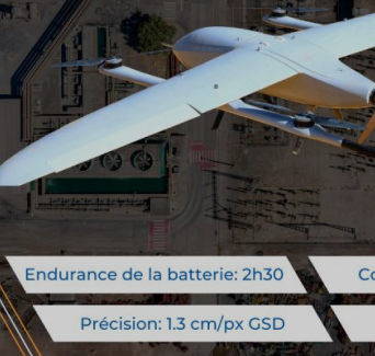

Le drone ATLAN Geo
ATLAN Geo est un drone VTOL à voilure fixe muni d’Intelligence Artificielle qui simplifie et accélère l’exécution des missions de levés topographiques, capture et classifie efficacement les données...

Multi-base RTK+PPK
ATLAN GEO features 2 multi-band GPS receivers with different antennas for real time accuracy in most use cases. It can be combined with static GPS data for increased centimeter level accuracy. You can make the most of...
Stay up to date
Subscribe to newsletter for latest news & updates.
ATLAN Space Solutions
About us
- Company
- Contact Us
- Become A Distributor
- Press Media/Kits
- Warranty
Industry solutions
- Land-Surveying & GIS
- Mining & Exploration
- Ocean Monitoring
- Agriculture
- Oil And Gaz
- Environment & Disaster Assessment
- Construction & Infrastructure
- Cargo Delivery
Knowledge Base
- Resource
- News & Events
- White Papers
- Blogs
- Webinars
- Privacy Policy
- Copyright © 2023 Atlan Space All rights reserved.
